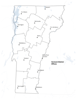
Geographic Information Systems (GIS) technology utilizes locational data to perform geographic analyses and to create visual outputs such as maps. For example, open the Public Health Reference Map to view district offices, health districts, hospitals, and hospital service areas in Vermont.
GIS is used in a variety of ways to support public health in Vermont, including to provide reference maps, atlases, dashboards and web apps.

